Can't see your ship on the map? Try Dual Track
Open this map on your mobile by scanning a QR code
Open this map on your mobile by scanning the QR code image with your camera
CLOSE
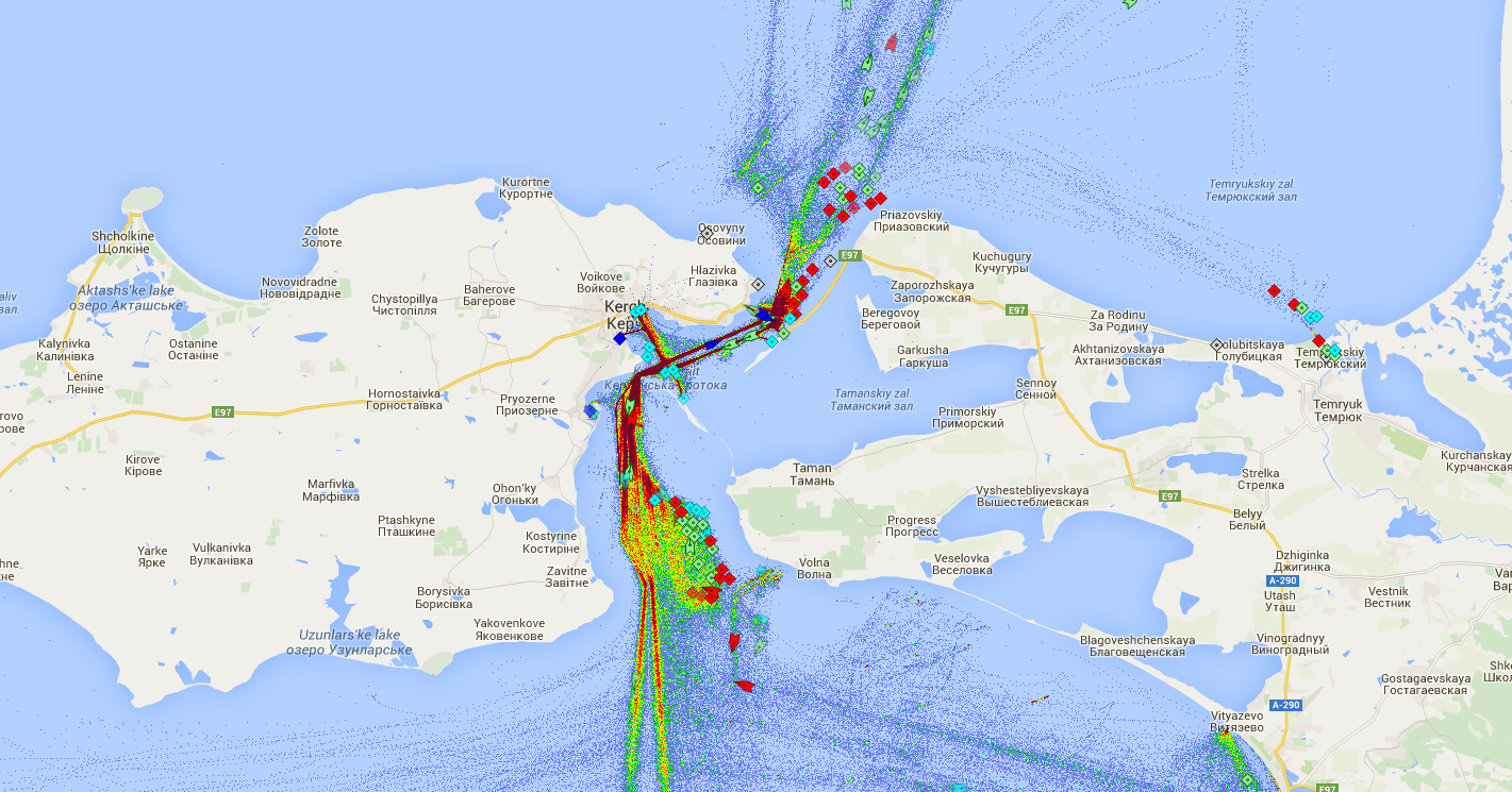
KERCH STRAIT MARINE TRAFFIC VESSEL AIS LIVE MAP
KERCH STRAIT - Ship Marine Traffic Live Tracking AIS MAP Density Map. Vessels Current Position. Sea Distance Calculator.
Ship Traffic Density Map of KERCH STRAIT
