Open this map on your mobile by scanning a QR code
Open this map on your mobile by scanning the QR code image with your camera
CLOSE
Marine Traffic AIS ship tracking on Google Maps
MarineTraffic has launched a Google Map displaying real time information about ship/vessel movements throughout the seas similar to VesselFinder.
Marine Traffic is developed as an academic project by the Greek University of the Aegean. It displays real-time AIS ship positions and information about vessel movements
Data is collected by receiving of Automatic Identification System (AIS) transmissions. IMO requires ships over 300 gross tonnage to install an AIS transponder on board. The transponder transmits vessel position, SOG and COG (speed and course over ground), ship name, ship size and next port of call.
The system is based on AIS (Automatic Identification System). The International Maritime Organization (IMO) requires all vessels over 299GT to carry an AIS transponder class A on board, which transmits data on position, speed and course over ground, among some other static information, such as the vessel name, dimensions and voyage details.
Real time vessel tracking by Marine Traffic

MarineTraffic uses this information to plot the real time position of marine vessels on a Google Map. The vessels’ positions are shown on the electronic map in the shape of boats. The tags are coloured to show if the vessel is a tanker, passenger vessel, cargo vessel, yacht etc. Clicking on a tag displayes information about the vessel and its current destination.
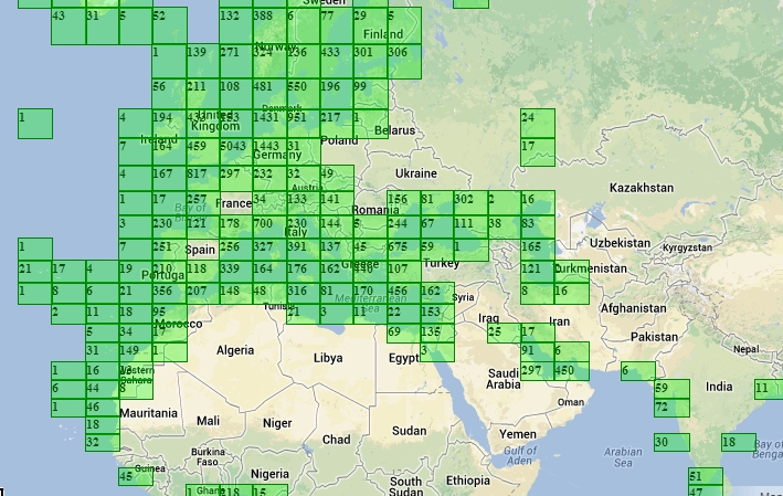
MarineTraffic say they can expand their area of coverage to include any area worldwide. Anyone can install a VHF antenna, an AIS receiver and start immediately sharing data and seeing the vessels onto the map of Marine Traffic.